presents
For Internationally Educated Nurses
Your Nursing Journey To Nunavut Starts Here.
Everything you need to go from nursing abroad to an RN licence from the College of Nurses of the Northwest Territories and Nunavut: the three pathways for internationally educated nurses, the documents and fees for each, the main employer’s residency rule, compensation, northern allowances and staff housing, and life in Nunavut’s communities. All in one place, in plain language.
See what is inside: get one year of access
The Government of Nunavut is the main employer of the territory’s nurses. Its nursing postings ask that you be eligible to work in Canada, so ask its recruiters whether they can hire you before you pay for anything. Anyone who promises you a government nursing job on a work permit, or asks you to pay for one, is a warning sign. See Staying safe from scams.
What’s inside.
This self-help information guide is two resources in one: your nursing roadmap to registration, and your encyclopedia of Canadian culture and daily life.
- Six clear steps, from choosing your pathway to your yearly renewal, with a box to tick for each task.
- The three pathways explained, including the one that skips the competence assessment if you’ve practised recently in the US, UK, Australia or New Zealand.
- Nunavut’s main nursing employer, and what it means if you don’t have permanent residency yet.
- Every fee we could confirm and who you pay, with a budget worksheet that adds up your own costs.
- Compensation, northern allowances, bonuses and staff housing, community by community.
- Qikiqtani General Hospital, two regional health centres and 22 community health centres, with newcomer help.
- Scam warning signs and the mistakes that cost nurses time and money.
- Tools that do the math for you: a licensing budget, a monthly home budget, a home purchase calculator and a calendar tool that puts your deadlines in your phone.
- Nunavut by the numbers: where newcomers live in Nunavut, the nursing workforce, pay, cost of living, weather and the health system, all on one page.
- First Weeks: 23 practical steps for your first weeks, from your SIN, bank account and phone to finding a place to live, your Nunavut health card, school for your children and getting ready for winter.
Flags of Nunavut.
The National Flag of Canada, the red and white flag with the maple leaf, flies across the whole country, in Nunavut too.
Nunavut’s own flag was granted by the Governor General on April 1, 1999. Its colours are white, blue and gold, and its red is a reference to Canada.
Official flower: purple saxifrage, unanimously adopted by the Legislative Assembly in 2000.
Motto: “Nunavut sanginivut”, meaning “Nunavut, our strength”.
Geography of Nunavut.
Here is the lay of the land, one part at a time.
Mainland west of Hudson Bay: Rolling, treeless tundra holds many lakes, including Baker and Dubawnt, with the Thelon and Kazan rivers. Open, stunted forest appears only in the far south, on Canadian Shield rock.
Western mainland and coast: Lowlands and rocky hills border Coronation Gulf, Bathurst Inlet and Queen Maud Gulf, running west to the Northwest Territories. Dwarf shrubs and sedge cover the ground, over deep permafrost.
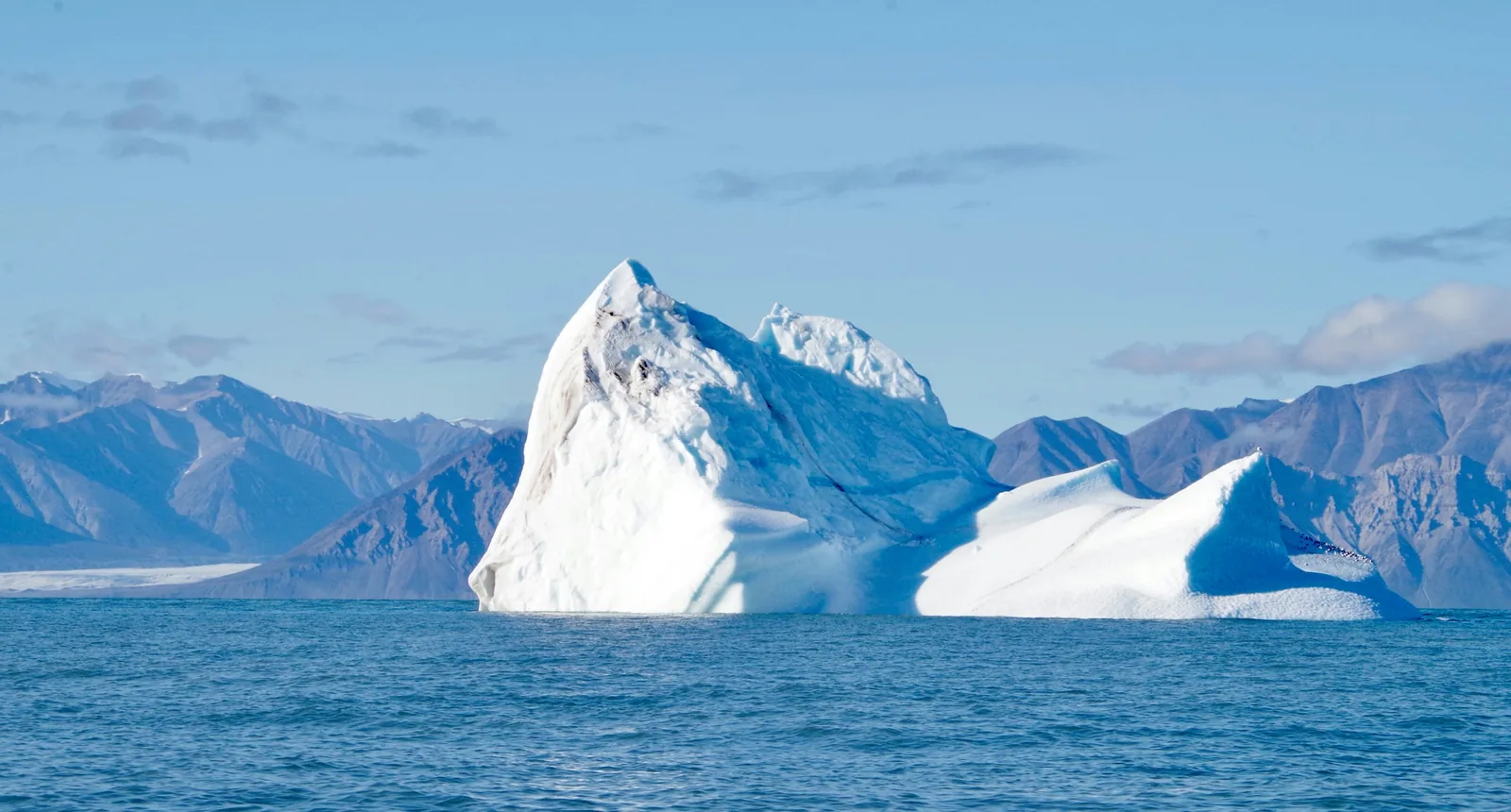
Baffin Island: Mountains, ice fields and fiords line the northeastern side. West of them, the land falls to bare uplands and low plains, with Frobisher Bay cutting into the south.
High Arctic islands: Ellesmere and Axel Heiberg hold high ice-capped mountains and glaciers. Most other islands are low rolling plains of permafrost and rock, among the coldest, driest land in Canada.
Hudson Bay islands: Southampton, Coats and Mansel islands sit near the mouth of Hudson Bay, in low Arctic land reaching toward Hudson Strait.
Did you know? Baffin Island is Canada’s largest island and the fifth largest in the world, at 507,451 square kilometres.
Fun Facts.
Ten things that make Nunavut one of a kind.
- The World’s Tallest Cliff Face. Parks Canada describes the face of Thor Peak in Auyuittuq National Park as the world’s tallest cliff face. Climbing it is billed as the park’s signature extreme adventure, described as a sheer vertical climbing experience. Source: Parks Canada.
- The Fish That Reached for Land. About 375 million years ago, when Ellesmere Island was a subtropical floodplain, a nine-foot predator called Tiktaalik lived there. It had fins and scales, but also a neck. The Elders Council of Nunavut supplied its name, from a word for a large, shallow-water fish. Source: University of Chicago.
- A Rhino From the Arctic. Most bones of an extinct rhinoceros were collected in Haughton Crater on Devon Island in 1986. The species, announced in 2025, lived about 23 million years ago. Its name, itjilik, means frost in Inuktitut and was chosen after consulting a former mayor of Grise Fiord. Source: Canadian Museum of Nature.
- The Mountains That Were Giants. A local legend tells of three giants named Ovayok, Inuuhuktuq and Amatok who died on a journey south and became three mountains. Ovayok Mountain rises 200 metres in a territorial park 16 kilometres east of Cambridge Bay, where muskoxen may be seen. Source: Nunavut Parks.
- An Island of Whalers. From 1852, whaling ships wintered near Kekerten, in Cumberland Sound, and hired Inuit for their expert knowledge of bowhead whales. The whalers had gone by 1917, but barrels, boats and tools remain. A boardwalk now links the sites, about 50 kilometres from Pangnirtung. Source: Nunavut Parks.
- A Hundred Stone Sentinels. About 100 inuksuit stand at Enukso Point on the Foxe Peninsula, some up to seven feet tall and perhaps 2,000 years old. They served Inuit as landmarks, meat platforms, kayak stands and caribou fences. The site became a National Historic Site in 1969. Source: Parks Canada, Directory of Federal Heritage Designations.
- The Enchanted Owl. In 1960, Kenojuak Ashevak created The Enchanted Owl at the community-owned print studio in Kinngait, then called Cape Dorset. That decade the studio released 60 to 90 prints a year, usually in editions of 50, and inspired other Inuit communities to open studios. Source: Canadian Museum of History.
- The Place That Never Thaws. Grise Fiord calls itself Canada’s northernmost permanently inhabited public community, home to about 150 people. Its Inuktitut name, Ausuittuq, means "the place that never thaws out." The hamlet also says its RCMP detachment is the most northern in Canada. Source: Hamlet of Grise Fiord.
- The Great Goose Gathering. Bylot Island has the largest known colony of greater snow geese, with about 100,000 gathering on its tundra by late summer. Each spring, more than 300,000 thick-billed murres also come to breed. The island became a Migratory Bird Sanctuary in 1965. Source: Environment and Climate Change Canada.
- A Trading Post Above Reversing Falls. In 1925 a Hudson’s Bay trading post was set up at the head of Wager Bay, above tidal falls that reverse direction. Parks Canada notes it as the first post run by an Inuk manager, and some buildings still stand. The park holds over 400 archaeological sites. Source: Parks Canada.
Checked against official sources in fall 2026.