presents
For Internationally Educated Nurses
Your Nursing Journey To The Northwest Territories Starts Here.
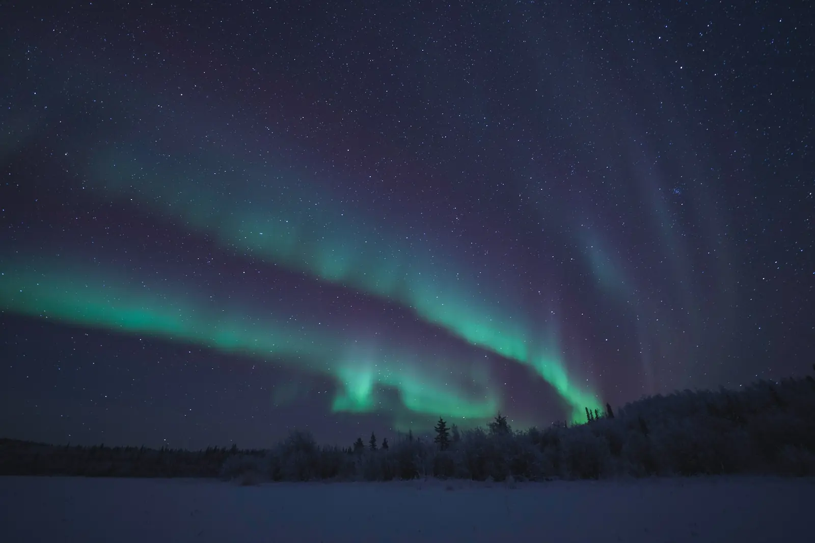
Everything you need to go from nursing abroad to an RN licence from the College of Nurses of the Northwest Territories and Nunavut: the three pathways for internationally educated nurses, the documents and fees for each, compensation and northern allowances, and life in the NWT’s communities. All in one place, in plain language.
See what is inside: get one year of access
In the NWT, employment agencies need a licence and can’t charge people looking for work. Under federal rules, an employer of temporary foreign workers can’t make you pay to get or keep a job either. See Staying safe from scams.
What’s inside.
This self-help information guide is two resources in one: your nursing roadmap to registration, and your encyclopedia of Canadian culture and daily life.
- Six clear steps, from choosing your pathway to your yearly renewal, with a box to tick for each task.
- The three pathways explained, including the one that skips the competence assessment if you’ve practised recently in the US, UK, Australia or New Zealand.
- The Inspire assessment: what it involves and what it costs.
- Every fee we could confirm and who you pay, with a budget worksheet that adds up your own costs.
- Compensation and northern allowances, community by community.
- Two hospitals, a regional health centre in Hay River and health centres across the territory, with rents and newcomer help.
- Scam warning signs and the mistakes that cost nurses time and money.
- Tools that do the math for you: a licensing budget, a monthly home budget, a home purchase calculator and a calendar tool that puts your deadlines in your phone.
- The NWT by the numbers: where newcomers live and come from, the nursing workforce, pay, cost of living, weather and the health system, all on one page.
- First Weeks: 23 practical steps for your first weeks, from your SIN, bank account and phone to renting a home, your NWT health card, school for your children and getting ready for winter.
Flags of the Northwest Territories.
The National Flag of Canada, the red and white flag with the maple leaf, flies across the whole country, in the Northwest Territories too.
The Northwest Territories’ own flag was adopted in 1969. It has a blue panel at each end and a white centre with the territory’s shield.
Official flower: mountain avens, adopted in 1957.
Geography of the Northwest Territories.
Here is the lay of the land, one part at a time.
Southwest: The Mackenzie Mountains form a steep, rugged edge along the Yukon border. The South Nahanni River cuts canyons through them and drops at Virginia Falls, twice the height of Niagara Falls.
Centre: The Mackenzie River and its tributaries run through low plains of open black spruce forest, between the mountains and the great lakes, Great Bear and Great Slave.
Southeast: East of the lakes lies the Canadian Shield, a pattern of countless lakes, wetlands and open lichen woodland. Yellowknife sits on the north shore of Great Slave Lake.
North and northeast: Past the treeline, tundra of dwarf birch and willow rolls over the land, reaching the Beaufort Sea at the Mackenzie Delta and the Tuktoyaktuk Peninsula.
Arctic islands: Banks Island and part of Victoria Island lie far to the north. Cold, dry and largely treeless, they have low rolling land with sparse plants over permafrost.
Fun Facts.
Ten things that make the Northwest Territories one of a kind.
- Canada’s Tallest Pingo. Pingos are hills with a core of ice, and about 1,350 of them dot the Tuktoyaktuk area. One of them, Ibyuk, stands 49 metres high and 300 metres wide at its base. Parks Canada ranks it Canada’s tallest and the world’s second tallest. Source: Parks Canada.
- A Waterfall Twice Niagara’s Height. At Náįlįcho, also called Virginia Falls, the South Nahanni River plunges twice the height of Niagara Falls. It lies in a UNESCO World Heritage park of 30,000 square kilometres. Dene people and their ancestors have used these lands for up to 10,000 years. Source: Parks Canada.
- The Tiny Church With the Painted Interior. The Church of Our Lady of Good Hope measures just 45 by 20 feet, yet it is a National Historic Site. Built between 1865 and 1885, it is known for its painted Gothic interior, designed by the missionary and scholar Émile Petitot. Source: Parks Canada, Directory of Federal Heritage Designations.
- One Town on a Giant Lake. Great Bear Lake is the largest lake lying entirely within Canada, according to UNESCO. It sits inside the Tsá Tué Biosphere Reserve, about 9.3 million hectares, nominated in 2016. The only residents are the Dene community of Délı̨nę, whose name means "where the water flows." Source: UNESCO Man and the Biosphere Programme.
- The World’s Northernmost White Pelicans. Near Fort Smith, the Slave River crashes through four sets of rapids over about 10 kilometres. The territory’s tourism agency says the midstream islands host the world’s northernmost nesting white pelicans. One set of rapids is even named Pelican. Source: Northwest Territories Tourism (Spectacular NWT).
- The Church Shaped Like a Snow House. Inuvik’s Igloo Church, built by volunteers in 1960, was designed by missionary Maurice Larocque, a carpenter with no architectural training. Its round shape limits frost damage, and a gravel base keeps building heat from thawing the permafrost. The wood was floated nearly 2,000 kilometres down the Mackenzie River. Source: Northwest Territories Tourism (Spectacular NWT).
- The Cliffs That Never Stop Smoking. At Cape Bathurst on the Arctic coast, shale has smouldered for thousands of years. Inuvialuit have known the place for generations, and legends explain the smoke as campfires of people living underground. Samples carried onto one explorer’s ship burned holes in his mahogany desk. Source: Natural Resources Canada.
- The Licence Plate Shaped Like a Polar Bear. In 1970 the territory marked its centennial with a licence plate shaped like a polar bear, designed by Commissioner Stuart Hodgson. The size rules never demanded a rectangle, and collectors named it Plate of the Year. Souvenir and commemorative bear plates are still made. Source: Northwest Territories Tourism (Spectacular NWT).
- North America’s Deepest Lake. Great Slave Lake is North America’s deepest lake, reaching 614 metres in Christie Bay near Łútsël K’é. Parks Canada also ranks it as the world’s tenth largest lake. Source: Parks Canada.
- Yellowknife’s Oldest Restaurant. The Wildcat Café has served Yellowknife since 1937, making it the city’s oldest restaurant. Miners, bush pilots and Indigenous trappers with their dog teams once gathered here. City Council named it a Heritage Site in 1992, and it opens in the summer months. Source: City of Yellowknife.
Checked against official sources in fall 2026.